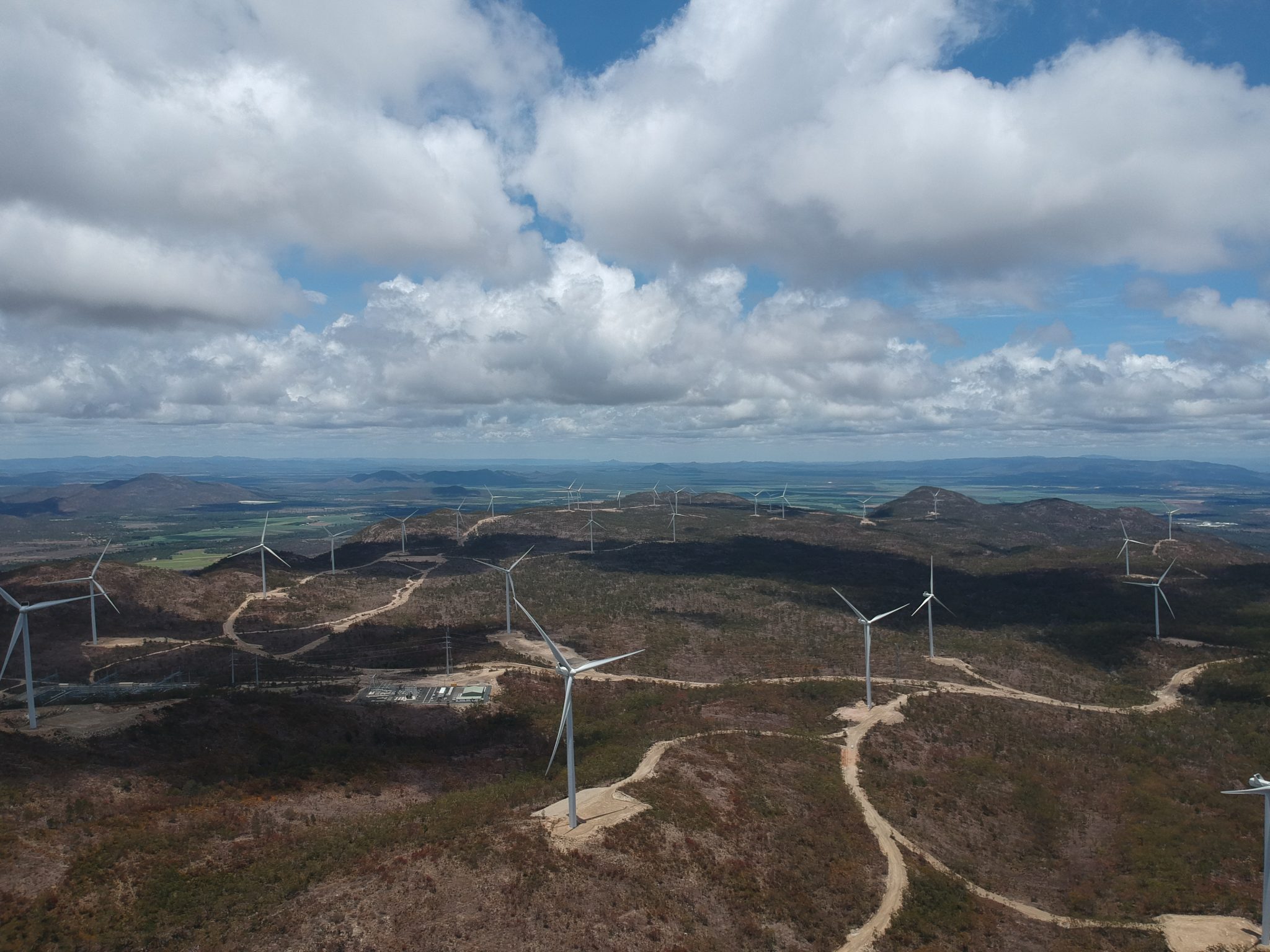
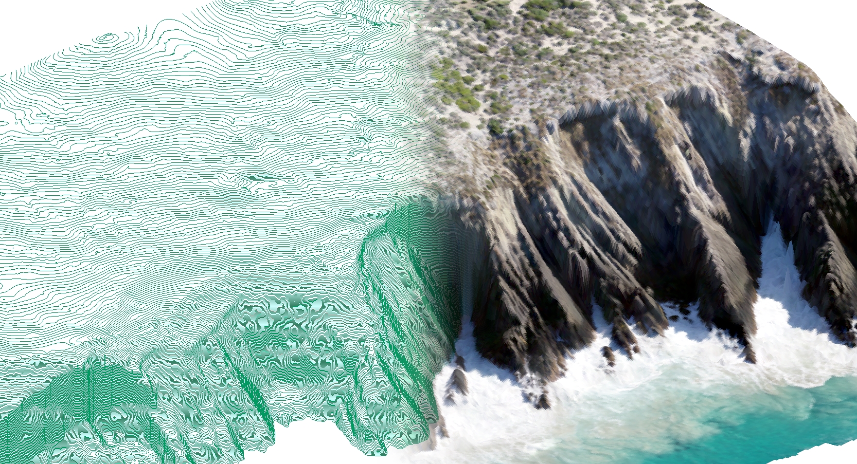
Through GIS, CAD, graphics and custom application development services, ENGEO creates workflow efficiencies and visually presents technical data. We perform UAV Surveying to offer aerial photography, digital orthophoto mosaics, digital terrain models (DTM), and high quality contour maps.