For over 20 years, ENGEO has been leveraging Geographic Information System (GIS) capabilities to support a wide range of disciplines. Our interactive, web-based project portals serve as a central collaboration point for managing various elements of complex projects. The flexibility of our portals allows for efficient data presentation and decision-making. With our innovative solutions, clients can visualize and understand complex project data and market trends. Beyond design and development, our GIS portal serves as a future-ready platform for storing essential project documents. Furthermore, GIS portals function as a complete data management system, ensuring efficient organization and accessibility of all project-related information.

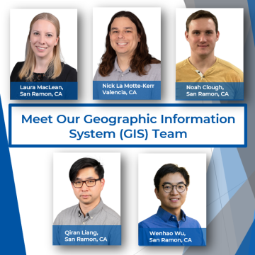
Laura MacLean | San Ramon, California
Laura is the GIS Manager. She joined ENGEO in 2019 and leads the GIS department. She has a Master of Science degree in Geophysics from the University of California, Berkeley, and over seven years of Python programming experience. She has developed several backend processes that automatically update the GIS web-based portal and has helped create custom GIS portals for projects.
“I enjoy working with the GIS team because it gives me the opportunity to learn, build new tools, and apply them to an engaging, fast-paced field.”

Nick La Motte-Kerr | Valencia, California
Nick joined ENGEO in 2021 as a Geographic Information System (GIS) Analyst with nearly six years of experience as a geologist performing subsurface investigations and observing hillside grading projects. As a GIS analyst, his work includes creating maps and figures, data collection and management, and the curation of web portals for geotechnical and environmental projects. Nick also leads ENGEO’s drone program and is responsible for gathering imagery and video footage documenting various phases of projects.
“After graduating I thought I knew everything. Working has taught me otherwise.”

Noah Clough | San Ramon, California
Noah is a GIS analyst starting at ENGEO in January 2024. He earned a bachelor’s degree in Geography with a minor in GIS from Virginia Polytechnic Institute and State University. As a GIS Analyst, he works with project managers to create maps, figures, and portals for reports or monitoring efforts. With a constant drive to learn and expand his skillset, Noah has been stepping into the field of CAD-based work, where he can further support the team.
“The more I work in GIS, the more I realize its limitless potential. Any question you need answered can be figured out using GIS. We are only limited by the imagination of the user.”

Qiran Liang | San Ramon, California
Qiran is a Senior GIS Developer and his role at ENGEO includes Python development with ArcGIS framework for geotechnical/environmental related projects and API development to connect and aggregate data sources. Qiran specializes in automating GIS workflow for data processing, GIS data structures, and customizing web portals.
“Ultimately, GIS is akin to a table, its utility hinges on the data you input.”
 Wenhao Wu | San Ramon, California
Wenhao is a GIS Developer who specializes in geospatial software design and development. He has 7 years of work experience in urban planning and design in various scales and has been applying GIS technologies across different types of projects in the AEC industry. Wenhao holds a Master of Science in Computer Science from Georgia Tech and a Master of City Planning from The University of Pennsylvania.
“GIS is very much beyond maps, it is a way of thinking and storytelling, integrating data-driven reasoning with visually beautiful interaction.”


